The afternoons training (8km) was still patchy with snow, and on the higher slopes there it was still a foot deep in places. This made for very wet and cold running. The controls had been collected already so Nick and I took turns leading out. We would then regroup at the control location to confirm with each other that it was the place. One control has us both waiting at different cliffs, my will broke first and I went looking for him...
he was right.
The terrain is extremely technical, but I am feeling a lot more confident in navigating through it, so the weeks effort has been worth it. Today was a tough day and I think we will both sleep well. Tomorrow we have one more forest session planned and then we are going to skip the sprint map session in Annecy, and rather go for a tourist drive. We drive through Annecy on Satuday morning on the way to the airport, so we can squeeze in a quick session if there is time.
The week has gone much quicker than I though it would. We will spend the weeks and months between now and WOC going over the routes and maps many times to determine what the best strategies are for different route options, what worked and what didn't.
The most important tool for this forest is compass work. Sounds obvious I know, but with so many re-entrants, depressions and knolls, the exit angle and map orientation are crucial as a couple degrees error could easily send you into the wrong valley.
Here are some videos of running through the various terrains.
Running in the clear forest the down a path with a bit of snow at the end.
This one is of a less runnable area. No possibility of running in a straight line ever.
Some stills of the terrain.

Looking into a runnable area of forest, there is often brashings on the floor. Especially after the heavy snow yesterday.

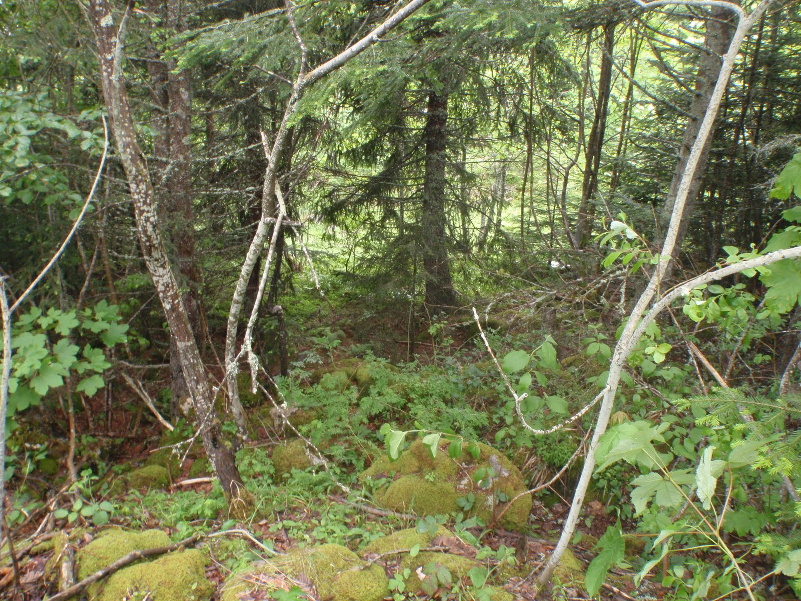
This is a less runnable area. some undergrowth on top of the very rocky forest floor.

This is a very runnable area - from a mapping perspective, but the moss covered limestone rocks make it very slow, almost like boulder hopping in a kloof, but in he middle of the forest.

This is a view of our little village taken on the way back after the afternoons training camp. the church in the middle and our accommodation in the the house on the far right at the end of the row just above the church.


1 comment:
Nice reports! :) Enjoy!
Post a Comment